The Decades and the Villages - 1700 -1710
Historical Overview
While Queen Anne's War 1701-1713 raged on the continent, regular English and French forces engaged each other in New France (Canada) (Crane 71-107). The French in their new Louisiana Colony sought peace between the warring Chickasaw and Choctaw. Iberville held a conference with a small Chickasaw delegation and several Choctaw chiefs in 1702 at Fort Louis (IGJ 171) and reported that a peace had been reached (IGJ 176).
The English Carolina taste for Indian slaves continued in this decade. On April 13, 1708 Thomas Nairne (Nairne 51), the Carolina Indian agent, concluded his journey from the Ochesses of the Upper Creek Indians to the Chickasaw by the "straightest road". Nairne's journal of his visit provides a description of his route entering the Chickasaw villages. That route would have been the road labeled as "Cotton Gin Road" on Figure 3. Nairne (Nairne 38) made his stay at the Chickasaw village named "Hollatchatroe" (later spelled Hallachehoe in the text). Note neither Nairne nor this village name is included in Table 1 as only one village name was provided.
Yet another record of Nairne's (Nairne 56) is his conversation with Oboystabee, a Chickasaw war leader, who had previously traveled to Charles Town and who tells Nairne that the trade with the English was firm despite Tonti's (Henri Tonty traveled down the Mississippi River with LaSalle and in 1702 led a Chickasaw delegation to Fort Louis) inroads "about 6 years agoe". Oboystabee further related that "2 old men of some note go yearly down to the French, merely for the sake of what they can get of them". Oboystabee (Nairne 56) also indicated that the French conference of 1702 swayed him for a time to the French cause as "I was one of them who was deluded, by their (French) great promises. They boyed (buoyed) us up with mighty expectations, of what vast profite we should reap by Friendship and commerce with them, so that upon their Desire I Killed one of your subjects the Albamas and carried them the hair." Nairne used these examples to impress those in Charles Town that the Chickasaw trade remained firmly English.
Nairne (Nairne 47) also described the booty that could be had for "slave Catching" - "A lucky hitt …procures them a whole estate at once…" The incentive for slaving was so lucrative that Nairne (Nairne 39) reported that the King of the village "had turned Warrior too, and proved as good a man hunter as the best of them."
From the perspective of future Chickasaw village movements, Nairne prophetically noted that the Choctaws were just beginning to have guns (Nairne 37). By this time Iberville had left Louisiana and Bienville, his younger brother, (MPA I 193) had assumed command of the Louisiana Colony.
During this decade of slave raids and poorly protected enemies, the Chickasaw prospered. We may assume that the raids against the Chickasaw recorded by Nairne (Nairne 37) of the "Illinoies . . . dare not fight or attempt Towns" did not alter the Chickasaw towns.
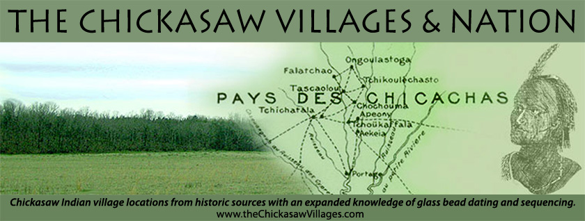
Iberville gave several clues relative to the Chickasaw villages. In 1702 Swanton (Swanton BAE 44 212) reported that Iberville listed eighteen towns of Chickasaw, see Table 1. It may be that some of these towns are confederate Indian tribes who moved closer for protection as Iberville (ISEUS 158) noted in 1700 that the Napissa had joined the Chickasaw. In 1702 he noted that the Chickasaw had two towns on the Ouabache River (IGJ 174) (lower Ohio River) (MPA I 205). While these remote towns may have existed, neither descriptions nor names have survived. Table 1 attempts to relate phonetically the names of Iberville's village names with those of the other sources. Note that Table 1 provides matches for all of Adair's villages with those of Iberville. Of the unmatched Iberville villages, their location is not known. It may be assumed that the satellite villages mapped on Figure 5 are named by Iberville.
Village Locations
While Nairne did not provide a Chickasaw village location description, he did state (Nairne 36) that there were "700 men Devided in 8 Villages, the Chief wherof is that of Hollatchatroe". Given that Adair provided the names for 7 villages, we may assume that the body of villages remained the same from 1708 to 1720. If one of Nairne's villages left the Chickasaw, it was not recorded. Nairne (Nairne 37) stated that there had been no significant warfare directed against the Chickasaw villages to have stimulated village movement; likewise, the French correspondences recorded in the Mississippi Provincial Archives, French Dominion, are silent about warfare against the Chickasaw. Also Nairne in 1708 noted that guns were just getting into the Choctaw hands. Thus there was no reason for the villages to move.
The villages of 1700-1710 would have looked very similar to those in 1690-1700. Figure 5 indicates the extent and name of the 1700-1710 villages. Note that Nairne's Hollatchatroe is Adair's Phalacheho, Figure 1. That focus of that village is located on the ridges west of Coonewah creek in T9S, R5E, and Section 31 and extends into T10S, R5E, and Section 6.